NYC Criminal Summons

NYC Summons Interactive
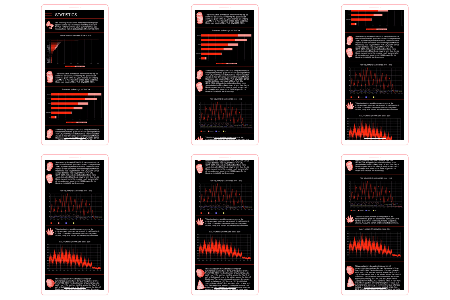
This project explores the nature of policing in New York City related to criminal summons geographically and temporally from 2006-2019: investigating the connection between the development of CompStat, the shift in policing between the years in which Michael Bloomberg or Bill de Blasio was mayor, and differences in policing between neighborhoods.
Analysis was conducted using data sets provided by Harry G. Levine and NYC Open Data
Role: Creative direction, Motion Design

Users can explore the differences in quantities and types of summons issued across New York City with an interactive search function that displays the top ten summons issued within one city block of the user’s input address, as well as selected addresses to demonstrate the differences across a variety of types of neighborhoods in New York City.

In this interactive NYC map, users can select a specific summons and a timespan to visualize geographically– highlighting densities of targeted areas as well as temporal shifts through the years.

The project aims to highlight specific trends that emerged from the analysis of NYPD’s Historic Criminal Court Summons Data Set, becoming an accessible tool for the public to investigate and reflect on the ways in which their city and neighborhoods are being policed.
Analysis was conducted using data sets provided by Harry G. Levine and NYC Open Data. This project was done in collaboration with Alex Burholt, Joey Bentivegna, Ariana Freitag, Sophie Schneider, and Willem Smith-Clark.
To see more visit summons.nyc.


